Introduction
Fast processing and real-time rendering of enormous point clouds, multi-source data fusion, geometry-first reconstruction, integrated analysis and photorealistic Gaussian splatting are combined in a single Artec 3D platform.
On October 12, 2026, Nanjixiong learned that professional 3D hardware and software developer Artec 3D had launched Artec Twins, designed to process vast environmental datasets at unprecedented scale and speed.
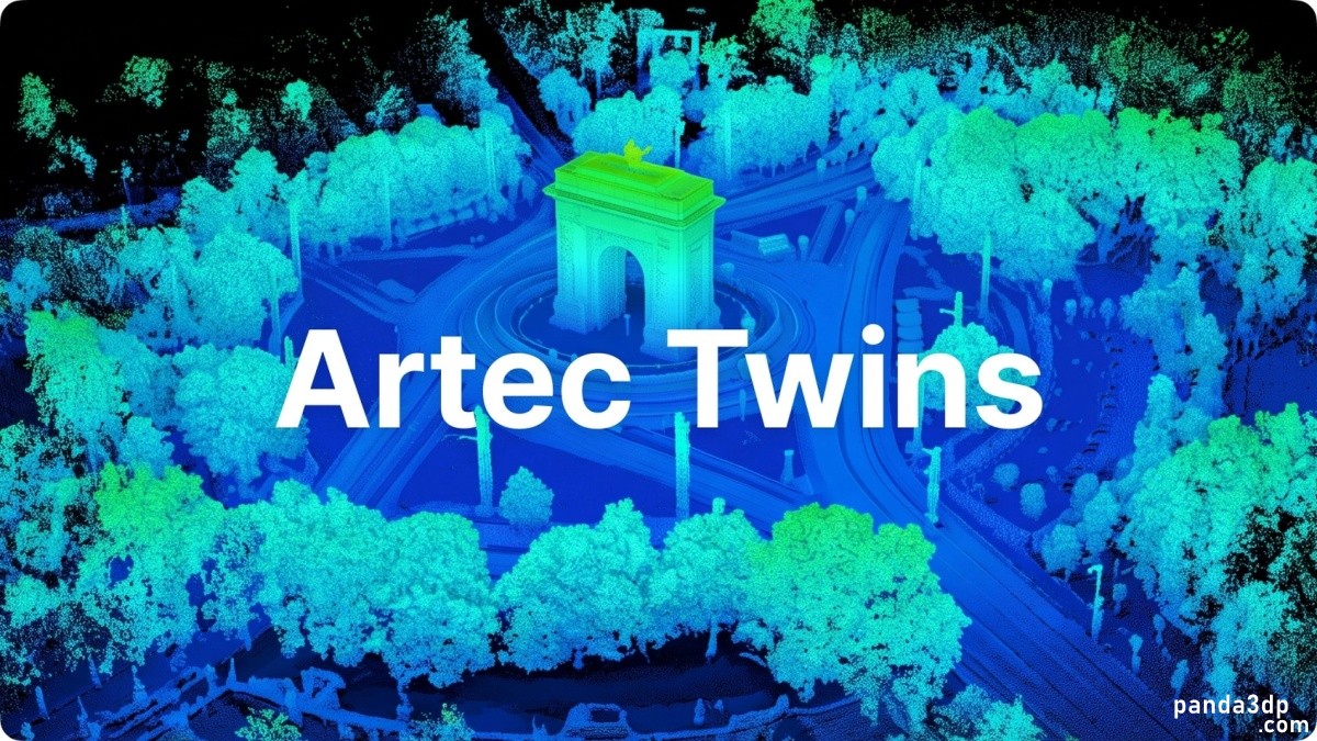
Artec has worked in high-precision scanning for two decades. Twins extends that approach to larger spaces, processing and rendering environments with hundreds of millions of points in real time. It converts raw data into measurable, presentable digital twins ready for immediate use.
Initially designed for the recently launched Artec Jet mobile SLAM LiDAR scanner and large-scale mapping, Twins now extends beyond one device. Building on Artec Studio, it adds Gaussian splatting, built-in analysis and algorithms for exceptionally large datasets.
Data capture at any scale
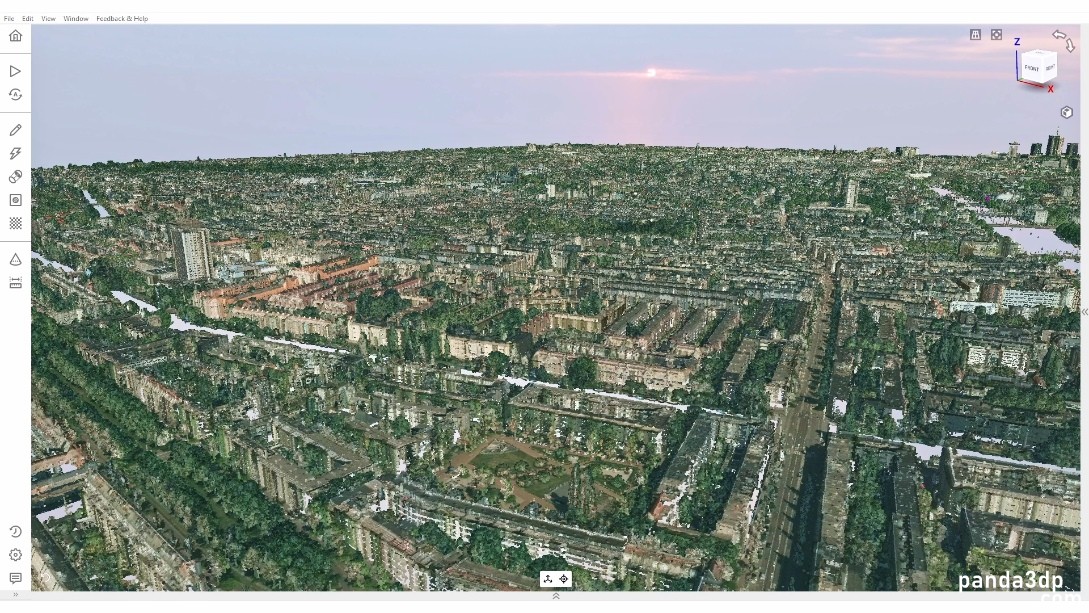
Twins targets city-scale scenes, from construction sites to infrastructure stretching for kilometers, including open terrain, building interiors and historic landmarks. Different projects require different equipment, and the platform is designed to connect with the most suitable technology.
It imports data from all Artec scanners as well as smartphones, drones and satellites. Users can combine broad coverage from satellites, aircraft or Artec Jet with detailed scans from the stationary Artec Ray II and submillimeter data from the wireless handheld Artec Leo.
The result is a complete, full-scale dataset with high accuracy in critical areas, exportable in industry-standard formats for third-party processing.
President and CEO Art Yukhin said existing solutions often force compromises between handheld scanning, SLAM LiDAR and aerial capture, with few supporting all three. Some also require dedicated workstations or external tools. Artec Twins aims to provide a complete large-dataset solution without tradeoffs in speed, accuracy or scale.
High-fidelity real-time rendering
The software uses algorithms designed to exploit available computing resources. It can render datasets containing billions of points at up to 200 frames per second without data reduction or lag. Environments exceeding 100 square kilometers remain interactive, allowing users to pan, move through and inspect scenes as if handling miniature models.
Artec emphasizes geometry first. Both accuracy and visualization matter, but measurements must remain reliable for surveying, infrastructure and public safety. Twins carries forward its dimensional fidelity while adding strong visual presentation.
Photorealistic Gaussian splatting
Twins introduces Gaussian splatting to Artec's software range, generating and rendering 3DGS scenes without external applications. It can represent translucent and reflective surfaces that are difficult for conventional reconstruction and capture details other methods miss.
These models are suitable for customer and stakeholder presentations and can be generated from Artec Jet LiDAR data, photographs or video.
Three representations within one platform
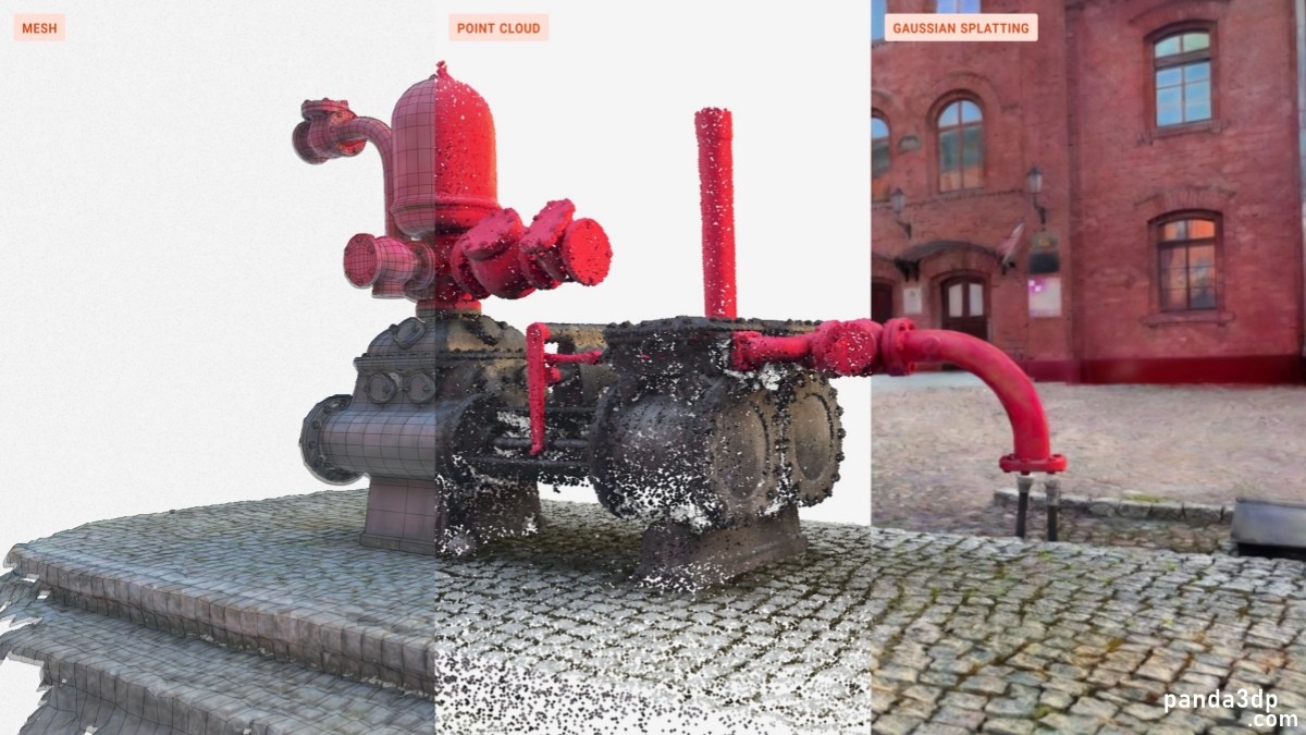
Users can work directly with point clouds, meshes and 3DGS models, selecting the balance between accuracy and realism. The same dataset supports precise measurements and immersive, highly realistic presentations.
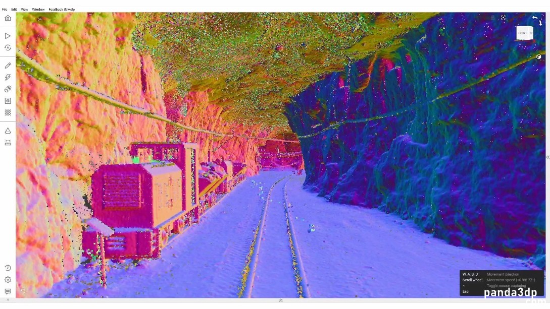
Color, height, normal and intensity overlays reveal otherwise difficult-to-see details. A first-person mode supports virtual exploration, remote walkthroughs, inspection and demonstrations.
From data to insights
Twins can generate distance maps between point clouds, meshes and CAD references; create cross-sections; calculate volumes; fit primitives; and measure fused models. Georeferencing and ground control points place the dataset in real-world coordinates.
Comparisons between as-built scans and designs help detect deviations, check tolerances and track changes over time, identifying errors before costly rework. Built-in analysis is designed to cover most project requirements. Processing is local. Export formats include E57, LAS/LAZ and common mesh and 3DGS formats.
Yukhin described an engine capable of handling extremely large point clouds without simplification or delay, combining reliable geometry-first measurements with presentation-quality visualization: a digital twin that can be both measured and shown.
Artec Studio remains the company's flagship all-in-one professional scanning and processing software. Twins specifically serves large-scale monitoring, inspection and mapping for architecture, engineering and construction, mining, infrastructure and public safety.
Availability
Artec Twins is now available. It is central to Artec Jet and Artec Ray II workflows and also serves other Artec scanner users creating digital twins.
Purchase is available through Artec's website and global reseller network.
AI-translated from an article by Beijixiong on Nanjixiong, originally published on 2026-10-12. Text and images retain the original source attribution.
Read the original Chinese article |



 Record number | ©2024 panda3dp Team. Powered by panda3dp